|
The Round Rotherham Run in
Pictures
Grange to Treeton
Section from Hilltop
to River Don
Following opening of the Right of Way between Meadowhall
Road and Meadow Bank Road, we can reverted to the 'improved'
'traditional' route. |
|
What you see |
Where you go |
|
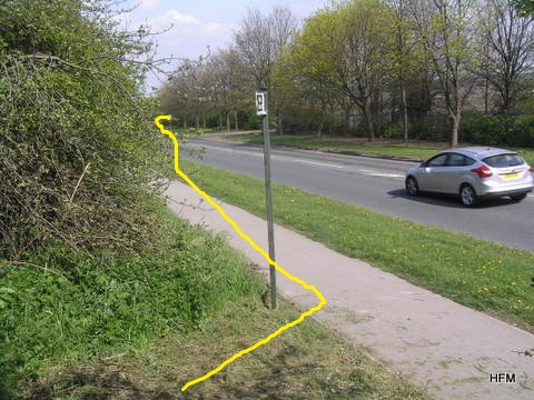
Waypoint Reference Number: B05 |
From Hilltop, SA on fenced path at L of new houses. SA and bear R alongside
fence, aim for pylon at bottom of hill.
|
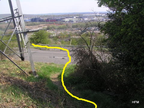
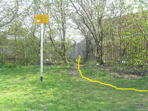
| Waypoint Reference Number: B06 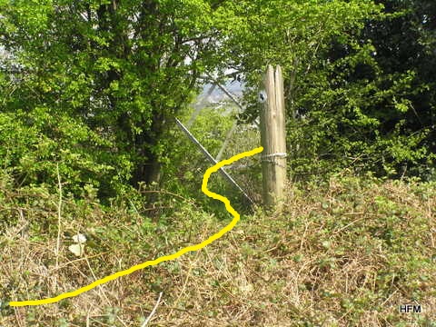
|
Fork L through hedge to base of pylon, path to
RD Cross RD, through gap to R of gate (FP sign), bear L along track for 70
m. |
|
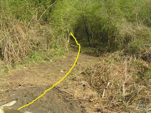
Waypoint Reference Number: B06A 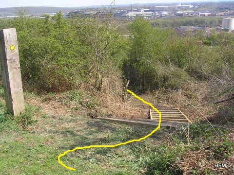
|
R down steps, follow path through thickets to RD |
|
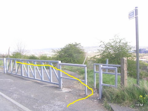
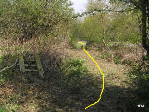
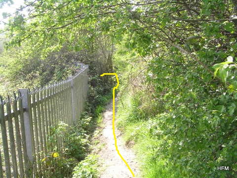
Waypoint Reference Number: B07
 |
L, follow RD 200 m to hidden path on R,
behind bus shelter (after TDE, before Roebuck) at Lamp post 35 |
|
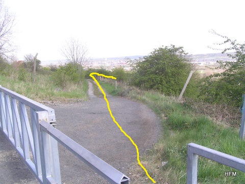
Waypoint Reference Number: B08 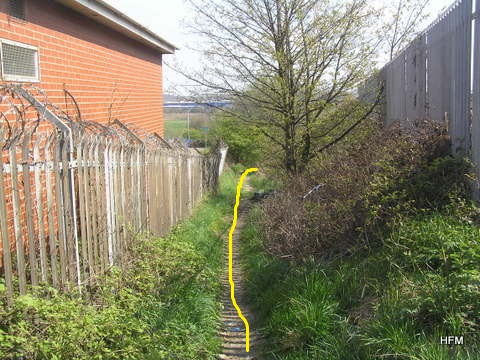
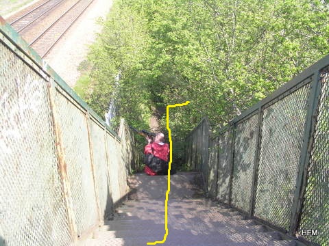 |
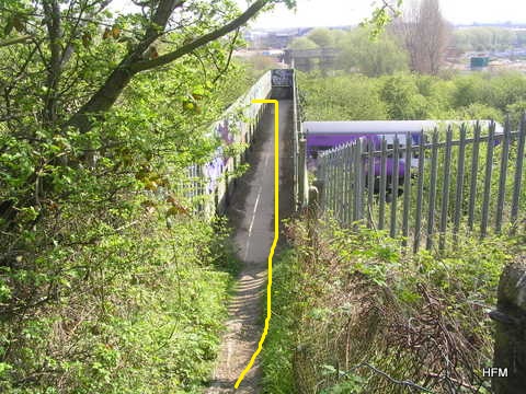
Path is at small gap between security fences, R
in front of next security fence, parallel to RWY, to FB over RWY, down steps
and R to towpath at river/canal
Danger: Flesh-cutting barbs are conveniently located at
shoulder height on section of fence approaching footbridge! |
|
Waypoint Reference Number: B09
|
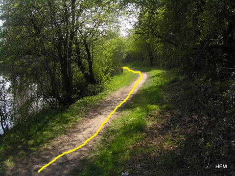
Along R bank of river for 1 km, crossing arch BR
to locks. NB Towpath work complete - it has been upgraded to tarmac! |