|
The Round Rotherham Run in
Pictures Stage
7 (Changed Section) Maltby - Hooton Roberts |
|
What you see |
Where you go (Distances to be
updated) |
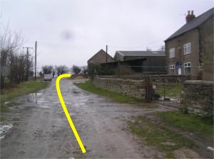 1 1
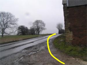
Fordoles Farm, R at road
|
From Maltby checkpoint,
follow road, cross road, follow track to Fordoles Farm on Moor Lane /
Marsh Hill (Ravenfield-Braithwell road). Turn R
N-NW Stage 2.0 km Overall 68.0 km
|
2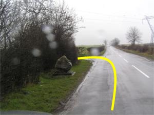
 |
Follow road to
first junction on left at No HGV sign (reflects at night!)
E 2.2 km
68.2 km
|
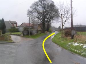 3 3
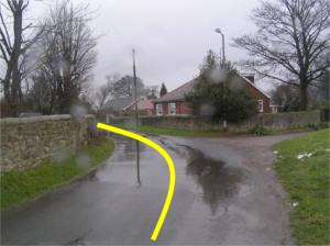 |
Follow lane
through village...
N, NE, N 2.6 km
68.6 km
|
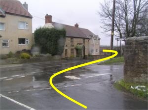 4 4
|
... to 4-way
junction. Turn R, Take L fork to FP (signed) after last house
on L
(The old barn has been demolished) E, N 3.2 km
69.2 km
|
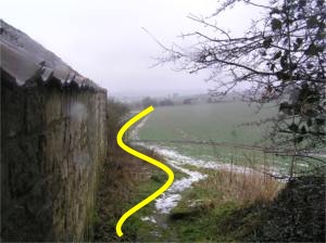 5 5
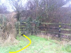 |
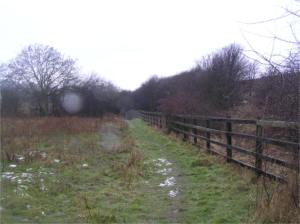
Follow path on L
of field to stile at L corner (below M18 motorway)
NNW 3.8 km
69.8 km |
 6 6
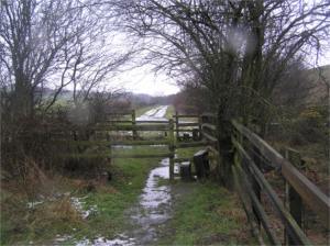 |
Follow path
alongside fence (below M18) over stiles to surfaced track
SW 3.9 km
69.9 km
|
 7 7
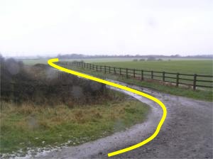 |
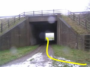
Turn R, under motorway, then Left on
track parallel to M18
NW 4.0 km
70.0 km
|
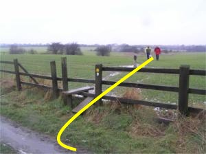
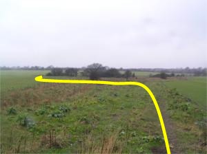 |
Right at stile
on
right, FP alongside field, over stream (bridge) and round end of hedge
W 4.2 km 70.2
km |
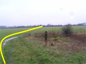
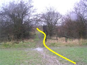 |
Cross field to
gap in hedge, cross railway cutting on bridge.
W 4.6 km 70.6 km
|
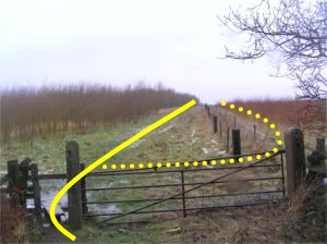
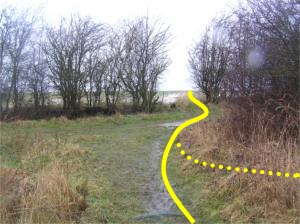 |
Cross stile to L
of gate after
bridge. Either follow track to L of fence, or cross fence and follow
path to R of fence. Routes rejoin and cross track.
NW 5.0 km 71.0 km
|
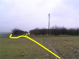
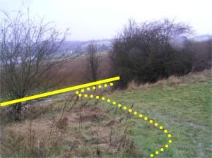 |
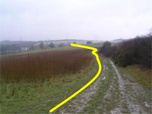
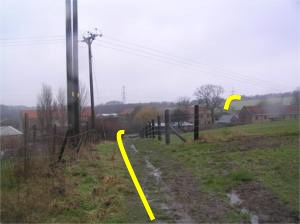
Cross field,
take track to R of field, L of opening to R of hedge. (Green lane
drops to track)
NW
5.3 km 71.3 km
|
 |
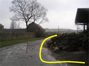
Follow track
above reservoir (on left) to hamlet. Keep L of fenced area. Field
to be crossed is half right.
NW, W
5.7 km 71.7 km
|
 |
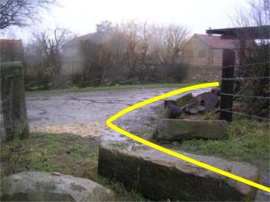
Turn R at track
(beware of stone blocks blocking end of track)
You are now on the old route
W 6.0 km 72.0 km
|
| 8 next pictures - to follow |
N 6.1 km 72.1 km
|
 1
1


 3
3

 4
4
 5
5

 6
6

 7
7


